
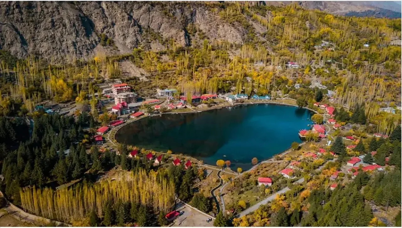
The Neelum Valley curls north from Muzaffarabad in Azad Jammu and Kashmir, following the emerald-green Neelum River for well over a hundred kilometres toward the Line of Control. Thick pine and deodar forests climb the slopes on either side, waterfalls drop straight into the river in places, and small villages sit tucked into the folds of the hills. For travelers who want the scenery of the north without the longer drive to Gilgit-Baltistan, Neelum is one of the most rewarding valleys in the country, and it remains far less crowded than Naran or Swat.
The valley's name comes from the river's striking colour, a deep blue-green that shifts with the light and the season. This guide walks through the valley from its start near Muzaffarabad to its far end near Kel and Taobat.
Muzaffarabad, the starting point
Most journeys begin in Muzaffarabad, the capital of Azad Kashmir, set where the Neelum and Jhelum rivers meet. The Red Fort, a centuries-old structure overlooking the confluence, is worth a stop, along with the lively bazaars selling shawls, walnuts and dried fruit. From here the road follows the Neelum River upstream, tracing every bend of the valley.
Chinari, Dawarian and the middle valley
A short way up the valley, the small town of Chinari makes a pleasant first stop, with views of the river and surrounding hills. Continuing north, the road passes through a string of villages, forests and viewpoints, with Dawarian standing out as a base for excursions into the side valleys. This is where many visitors turn off toward Shounter Valley and its high-altitude lake, a rougher but beautiful detour for those with more time and the right vehicle.
Kutton, Sharda and ancient ruins
Further along, Kutton is known for its trout farms and waterfalls tumbling close to the road, a favourite stop for photographs and a quick walk. Sharda, one of the valley's more significant towns, holds the ruins of Sharda Peeth, an ancient centre of learning and Hindu pilgrimage that dates back well over a thousand years. Though now in ruins, the site is a striking reminder of the valley's long history as a crossroads of cultures and beliefs, long before it became a modern travel destination.
Kel and Arang Kel
Kel, further north, is one of the valley's most scenic points, set among dense forest with mountains rising steeply on every side. From here, a chairlift or a steep walk of about an hour leads up to Arang Kel, a meadow village perched on a plateau above the valley floor. Wooden houses, grazing cattle and sweeping mountain views make Arang Kel feel like a step back in time, and it has become one of the most photographed spots in the region. Stay overnight if you can, since sunrise over the surrounding peaks is spectacular and the crowds thin out once day-trippers head back down.
Taobat and the far end of the valley
The road eventually reaches Taobat, close to where the Neelum River enters from across the border, marking the practical end of the journey for most travelers. The landscape here is wilder and quieter, with fewer hotels and a genuine sense of remoteness. Because this area sits close to a sensitive border region, road access and permissions can change, so check current conditions and any restrictions before planning a trip this far north.
Waterfalls and river spots
The Neelum Valley is dotted with waterfalls that drop close to the road, offering easy stops for photographs and a splash of cold mountain water. Keran, a village roughly midway up the valley, sits directly across the river from villages on the other side of the Line of Control, a striking and sobering reminder of the region's history. The riverside throughout the valley is lined with restaurants serving fresh trout, and many hotels are built to make the most of the water views.
Best time to visit
The valley is at its greenest and most accessible from April through October. Summer, June to August, brings warm days and cool nights, and is the busiest season, particularly around Kel and Arang Kel. Spring brings wildflowers and a rushing, snowmelt-fed river, while autumn colours the forests in gold and rust. Winter closes much of the upper valley with heavy snow, though the lower sections around Muzaffarabad remain accessible and quiet.
Getting there
Muzaffarabad is roughly a four to five hour drive from Islamabad, and the road has improved considerably in recent years. From Muzaffarabad, the journey up the valley to Kel takes several more hours, following the river the entire way, with stops for photographs slowing the pace pleasantly. The final stretch beyond Kel toward Taobat is rougher and best done with a sturdy vehicle and a local driver familiar with the road.
Where to stay and eat
Hotels and guesthouses are spread along the valley, with concentrations in Muzaffarabad, Kutton, Kel and Arang Kel, ranging from simple rooms to comfortable riverside lodges. Trout is the dish to try throughout the valley, usually grilled or fried and served with naan. Kashmiri chai, a pink, slightly salty tea, is worth sampling at least once.
Practical notes
Because parts of the valley lie close to the Line of Control, it is sensible to check current travel advisories before setting out, particularly for the stretch beyond Kel. Carry identification, keep some cash for areas without card facilities, and dress modestly out of respect for local custom. Roads can be affected by landslides after heavy rain, so build flexibility into your schedule.
Neelum Valley combines well with a visit to Muzaffarabad and, for those with more time, with the wider Azad Kashmir region. To plan a route, browse our tour packages or get in touch and we will help put together an itinerary.